Gainesville, TX Weather Radar — Cooke County Forecast & Alerts
Live NWS radar, conditions, and the official forecaster discussion for Cooke County, Texas.
Cooke County Weather Radar (Live)
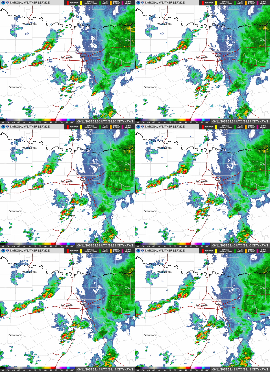
Animated Doppler radar from NWS Fort Worth (KFWS), the station that covers Cooke County and North Texas. Image refreshes every few minutes. Open full interactive NWS radar →
Latest from NWS Fort Worth
Issued May 24, 6:14 PM CT- •Scattered storms will continue the rest of this evening before
- •Additional scattered storms are possible on Monday afternoon
- •Lower thunderstorm chances exist on Tuesday before more
Late morning satellite imagery shows generally sunny skies across the region but a cumulus field has developed over the last hour from the Metroplex back to the northwest and we'll monitor its expansion into the afternoon. The upper pattern features a notable shortwave trough over southwest Texas within a broader weakness in the 500 mb heights across the Southern Plains. Mid level flow is weak, but oriented northwest to southeast which should place the best vorticity advection and forcing for ascent to our south through the rest of the afternoon. This generally doesn't bode well for storm chances in our area, however the low level flow is easterly and an earlier morning outflow boundary is set up near the I-35 corridor which has resulted in a strong but focused area of low level moisture convergence. Latest aircraft sounding data indicates a modest capping inversion around 850 mb which is supported by the latest RAP objective analysis and will certainly be an inhibiting factor for storm development for a few hours. However, CAM guidance is insistent on storm development by mid/late afternoon despite the factors working against it. Given strong afternoon heating within a very moist boundary layer (90% mean RH in the lowest 1km - ACARS) featuring very weak low and mid level flow and a lack of any notable subsidence, we'll likely reach convective temps in the mid/upper 80s which should be sufficient for scattered convection to develop. This is most likely to occur within the area of focused low level moisture convergence near or just west of the I-35 corridor from the Metroplex southwest. Mid level lapse rates >7.5 C/km will be sufficient to support a few instances of hail or severe wind gusts via downdraft enhancement from mid/late afternoon into the early evening hours. Weak steering flow will result in slow moving storms with potential for locally very heavy rainfall. Coverage of storms should peak at 30-40% before waning after loss of daytime heating this evening. Any ongoing convective activity should quickly diminish after dark with a quiet night expected across North and Central TX.
Excerpted from the National Weather Service Area Forecast Discussion (FWD office). Read the full discussion →
Current Conditions
Updated 1:15 AMHourly Forecast
7-Day Forecast
Sun & Moon
Weather data from Open-Meteo. Alerts from National Weather Service.